ThinkGeo Desktop Maps
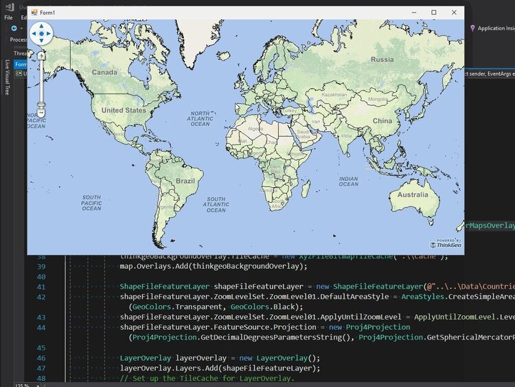
.NET map controls for building interactive GIS applications for the Windows desktop using WPF or WinForms.
Tons of Supported Formats
All ThinkGeo products come with support for the most popular formats baked right in.
Reads & Writes Dozens of Vector Formats
Support for “Big Data” Raster Formats
Easily Integrate Custom Data Formats
Real-time Data Sources for Moving Assets
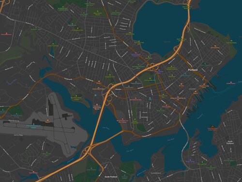
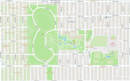
Create Visually Stunning Maps
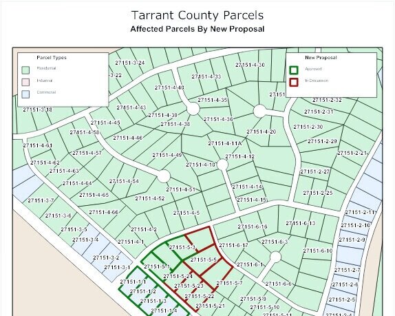
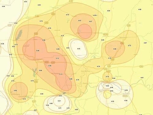
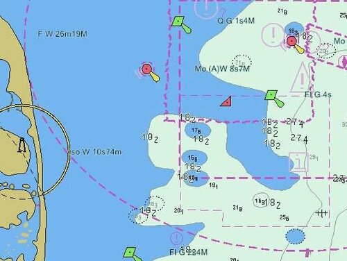
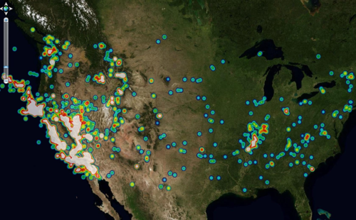
Use any of our pre-existing styles or create your own! You have full control to design visually stunning maps. Visually analyze your data using styles such as point clustering, heat maps, class breaks, and isolines.
WPF & Winforms Control
Add interactive maps and professional-grade GIS to your WPF & Winforms apps.
Extensible API Model
Great Format Support
Create Interactive Maps
Built-in Editing
Draw shapes such as rectangles, polygons, ellipses, lines and more. In addition, it's a snap to let your users edit any geometry and move, add, or delete vertices as well as rotate, scale or move the feature.
Printable Maps
Build maps for Windows services and console applications with a powerful GIS API framework to create hard-copies of your maps at any size.
Extensible Code Base
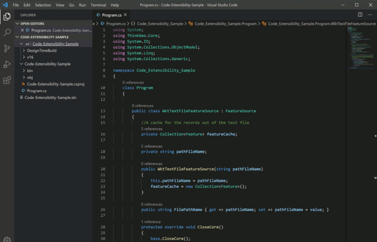
Inheritance and composition are at the heart of our object model. Nearly every facet can be extended or overridden.
Customize Styling
Integrate New Data Sources
Enhance UI Controls & More
Daily Builds via NuGet
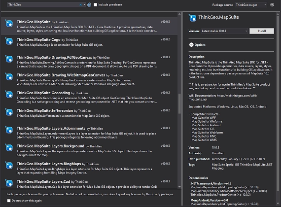
By offering our components via NuGet it’s easy for you to install and keep up to date all of ThinkGeo’s products.
Daily product builds
Get updates via NuGet
Developer and production channels











 WhatsApp
 LinkedIn
 Facebook
 X
X
 Email
Email