





Product Overview
ThinkGeo Cloud Mapping Services
Cloud-based GIS services that use simple web requests to deliver great looking maps, routing, geocoding, elevation, projection and much more.
Geocoding
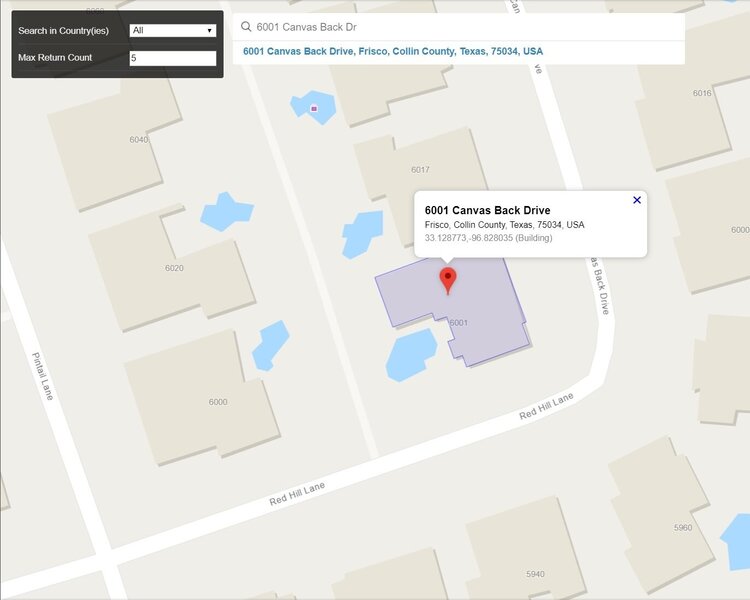
Turns addresses, landmarks and POIs into geographic coordinates in just a few lines of code.
High performance
Batch Geocoding
Rich Location Metadata
Reverse Geocoding
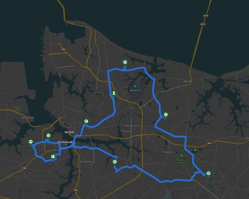
Find addresses, intersections, and nearby points of interest within a radius of a GPS point.
Nearby Points of Interest
Addresses, Places, Intersections
Distance and Direction
Elevation
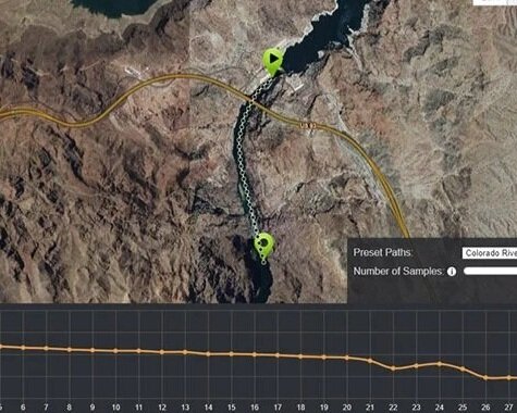
Use ThinkGeo Elevation to get elevation points, contour and viewshed anywhere around the world.
Coordinates, Paths and Areas
Automatic Area Grid Interpolation
Batch Query Support
World Maps Query
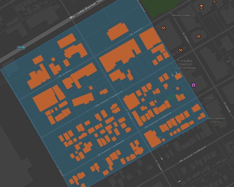
Find the spatial relationship between your custom shapes and world map features like places, buildings, cities and more.
Query Intersection, Contains, Within & Many More
Get Attribute List by Layer
Find Nearest Features
Specifications
Nothing to Maintain
We maintain the servers, load balancers, software updates and so on, so that you can focus on delivering high-quality GIS solutions.
Simple Transaction Model
Get up to 100,000 transactions per day (3 million per month) that can be used interchangeably for all ThinkGeo Cloud services.
Free 30 Day Evaluation
The best way to find out if ThinkGeo is right for your project is to take it out for a test drive. Enjoy full access to all ThinkGeo products and services for 30 days.
High Quality Global Data
Over a Billion Features
We source our data from multiple open-source projects including OpenStreetMap, creating a one-stop shop for all your global data needs.
Multi-Language
Using the language request parameter, you can get results back in your preferred language, with several options available.
Continually Updated
Our cloud-based databases are kept up-to-date on a continuous schedule, using the latest data from multiple sources.